Volunteered Mapping and Data Governance in the Americas
Exploring the role of crowd mapping for official cartographies
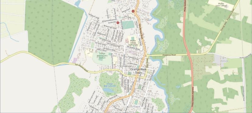
This study articulates the challenges, barriers, and opportunities for using volunteered geographic data to support the needs for spatial information underpinning provision of services and functions in the public sector in countries of Central America, South America and the Caribbean.
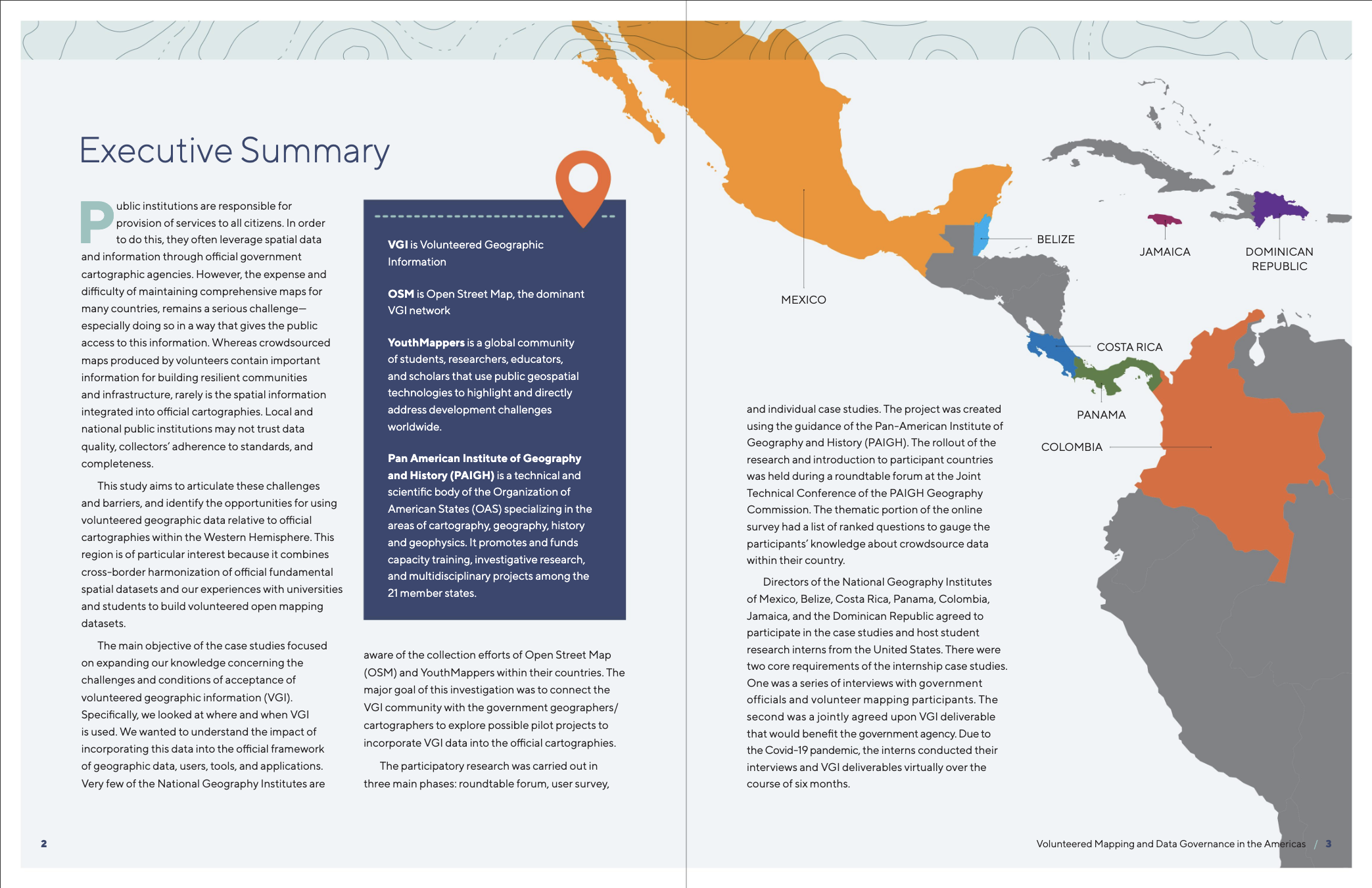
The project was implemented with support from funding from the National Science Foundation, using the guidance of the Pan-American Institute of Geography and History (PAIGH). Directors of the National Geography Institutes of Mexico, Belize, Costa Rica, Panama, Colombia, Jamaica, and the Dominican Republic agreed to participate in the case studies and host student research interns from the United States. A series of interviews with government officials and volunteer mapping participants led to a jointly agreed upon deliverable that would benefit each government agency.
Key Recommendations
Findings from the study yielded insights that expand our knowledge about the role of VGI for official cartographies and peak our interest in learning more, especially regarding the potential for evidence-based decision-making.
- In order to raise awareness of opportunities, we recommend to systematically introduce major public agencies to the opportunities for VGI using successful examples from the region.
- In order to address the challenge of relevance and inclusion, we recommend that despite pandemic disruptions, focusing on place names and local geographic knowledge from the field will be a critical component for future successful joint efforts.
- In order to address the challenge of leadership, we recommend identifying and empowering local champions for official cartographic and VGI collaboration.
- In order to address the barriers of implementation and leverage opportunities for success, we recommend that future efforts be tailored to the individual needs, capacity, and opportunities present in each national context.
- In order to accelerate adoption in ways that are most promising and equitable, we recommend sharing experiences and best practices across nations of the Americas through institutional frameworks that are invested in spatial data infrastructure and open mapping, as well as organizations that promote overall security and resilience of the hemisphere.
Read the full report
Our goal from this study is to help establish a foundation for building an information sharing community across academic and government sectors. A final report in both English and Spanish has been produced and is accessible in digital form from the links below. Requests for hard copies may be made to [email protected].
Executive summary
To cite this report:
Jean Parcher Wintemute, Patricia Solís, Nancy Aguirre, Vivian Arriaga, Adele Birkenes, Calvin Zhang, Daniel Council, Emily Wulf, Enith K. Lay Soler, Mason Jones, John Sawyer McCarley. 2021 “Volunteered Mapping and Data Governance in the Americas” Published for the Pan-American Institute of Geography and History, Mexico City, Mexico. Available at: bit.ly/VGIamericas.
To download a pdf version of this report: please access the English pdf version here or the Spanish pdf version here. You may also request bulk hard copies as availability permits, by email request to [email protected] with the words "Volunteered Mapping Report Request" in the subject line, and in the body of the email clearly specify the full mailing address along with the number of copies for which language(s) you are requesting.
Funding Acknowledgements:
Support for this research was provided by National Science Foundation Award #1907123, 2019-2023. PI, Dr. Patricia Solís; Co-PI Jean Parcher Wintemute, Co-PI Nancy Aguirre. “How the Crowdsourced Spatial Data Revolution is Being Used to Complement Official Data” under the Science Technology and Society program, with contributions to NSF’s Big Ideas, Harnessing the Data Revolution for 21st Century Science & Engineering.
YouthMappers is supported by USAID Award #AID-OAA-G-15-00007 and Cooperative Agreement Number: 7200AA18CA00015 via the GeoCenter; and by anonymous donor contributions; Arizona State University is the fiscal administrative lead; co-founding institutions are Texas Tech University, The George Washington University, and West Virginia University. (Dr. Patricia Solís, Director, Co-Founder and PI).
Pan American Institute of Geography and History hosted the project, and we are grateful for their logistical and institutional support.
We are grateful to the participating students, academic faculty, government officials, and NGO partners for helping us lay this foundation for building a community of practice interested in reducing these barriers and expanding these opportunities. We look forward to the next steps in sharing and co-creating knowledge on specific applications, such as hazards, development, and infrastructure services.